Damage pattern in the Great Umayyad Mosque in Aleppo
Aleppo Built Heritage Documentation – Damage Mapping
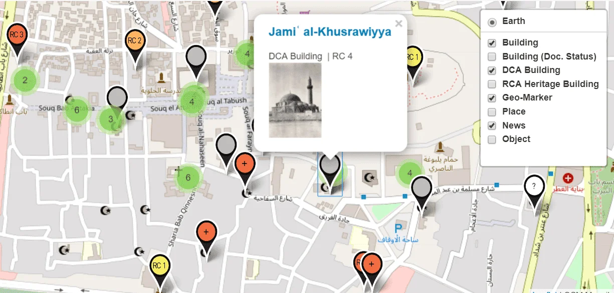
SYRIAN HERITAGE ARCHIVE
al-Matbakh al-ʿAjami, ground plan drawing before the partial demolition
Fig.46-b_Pillar with structural damage, after emergency support
Hiraqla victory monument – plan of ground level
Raqqa – the excavations of the site “East of Raqqa” – Eastern Palace
Hiraqla victory monument – plan of ground level
Fig.12_3D plan with measurements
Suq Aslan Dada, rebuilding of northern entrance, view towards south
Fig.15-b_Minarett-Umayyad-Aleppo_fig_10
Fig.15_Digital orthophoto of façade section
Fig.10_geodetic grid over rubble heap
Fig.43_Protective tarpaulin of outer walls
Fig.04-c_Contour lines of a digital terrain model
Raqqa, Qasr al-Banat, clay decorations
Raqqa, Qasr al-Banat, courtyard with southern Iwan
Raqqa, Qasr al-Banat, courtyard with southern Iwan
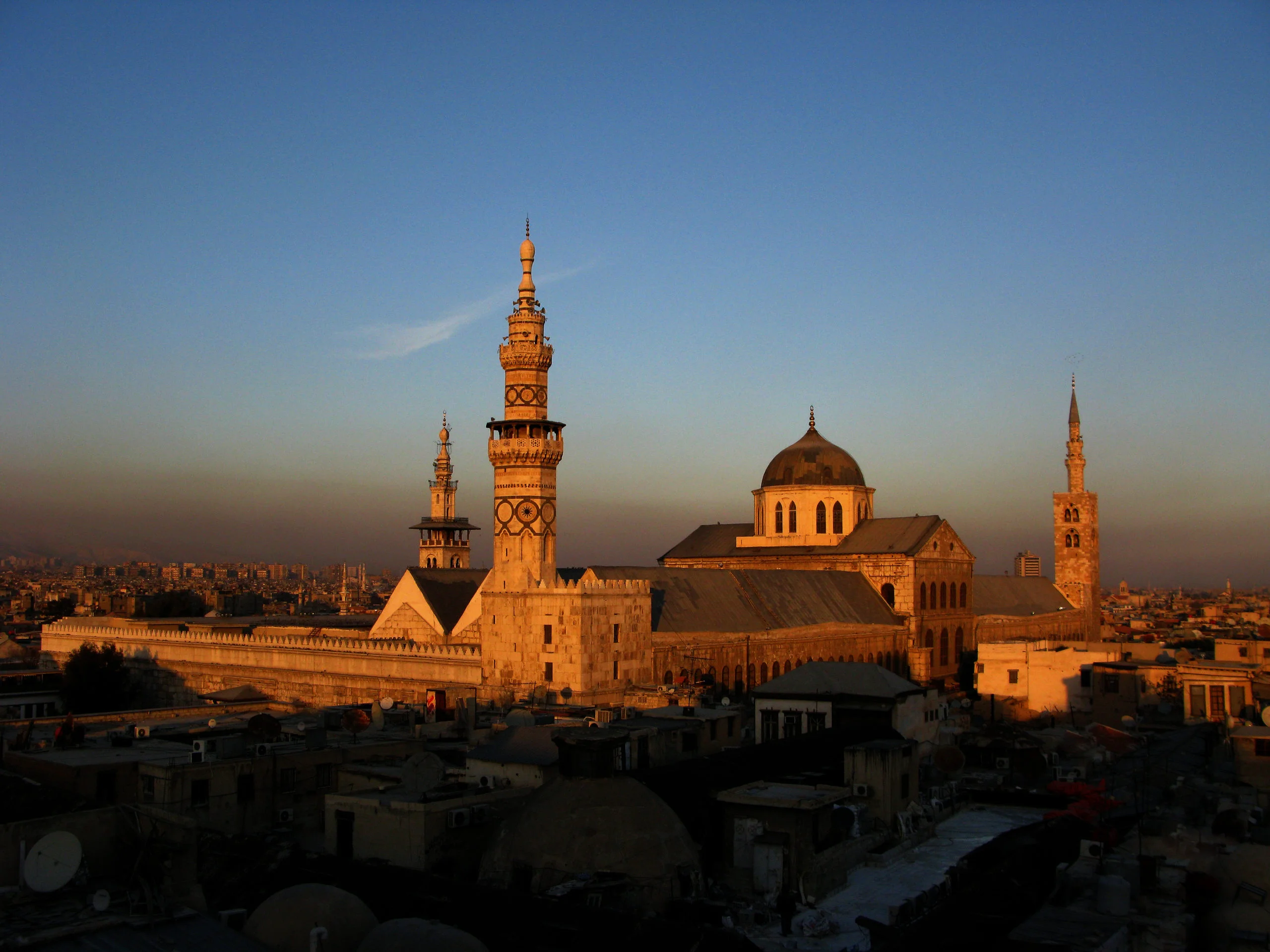
Great Mosque, courtyard and prayer hall facade
Fig.15-c_Minarett-Umayyad-Aleppo_colli2
Fig.39_Façade with allocation of stones from rubble
Fig.41-b_Marking missing stones after partial collapse
Fig.04-b_contour lines over rectified photograph
Fig.05_geodetic grid over rubble heap
Fig.29_labelling rubble stones by spraying
Fig.33_protective roof
Fig.31-b_storage of sorted related stones
We use cookies to ensure that we give you the best experience on our website. If you continue to use this site we will assume that you are happy with it.OkCookie Policy

 Fig.02_3D-scanning-Great-Mosque-of-Aleppo_Iconem-Agha-Khan-Trust-for-Culture_11