Aleppo, Khusrawiyya Complex, siteplan of the building parts (English)
Khusrawiyya Complex, damage mapping (English)
Khusrawiyya Complex, damage mapping (Arabic)
Khusrawiyya Complex, siteplan of the building parts (Arabic)
Fig.40_Façade after reconstruction with integrated original stones
Fig.35_labeling of stones within geodetic grid field
Fig.40_Façade after reconstruction with integrated original stones
Fig.32_storage of sorted stones in courtyard
Fig. 01, Catalogue of Damage
Fig.39_Façade with allocation of stones from rubble
Fig.09_geodetic grid over rubble heap
Fig.44_removal of rubble infill, using a suction tube
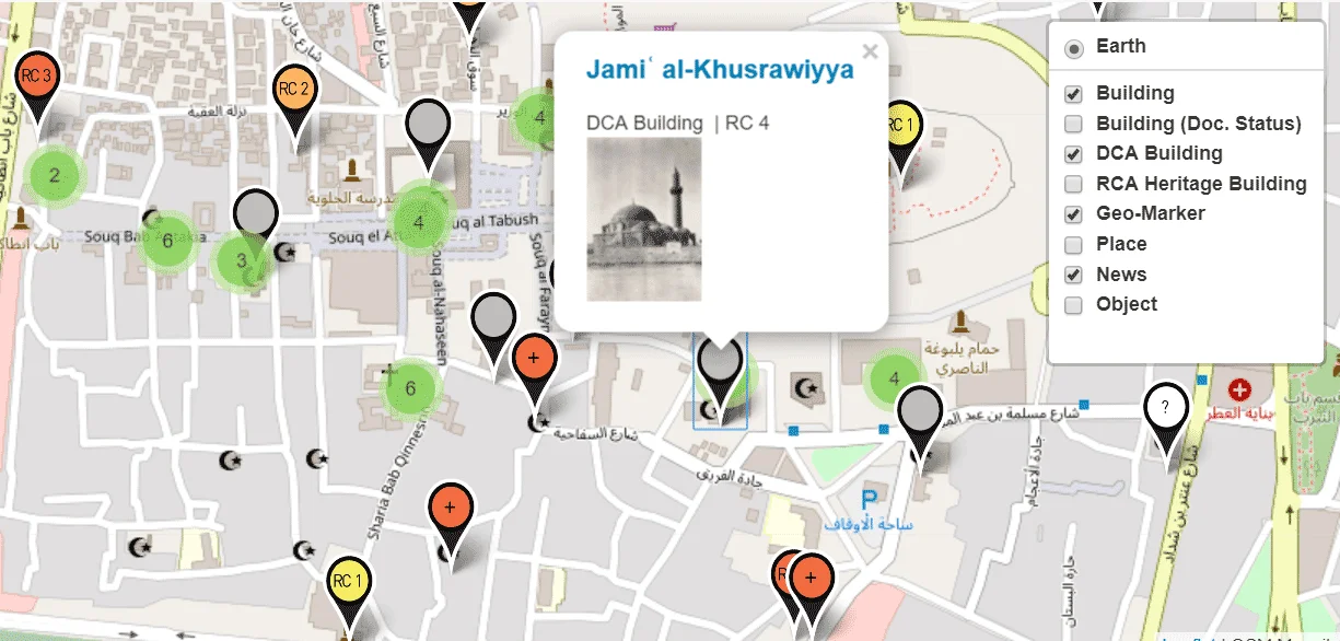
Aleppo Built Heritage Documentation – Damage Mapping
Rubble stone with carved Arabic inscription in Aleppo
Fig.05_geodetic grid over rubble heap
Fig.24_ashlar voussoire stones within rubble field
Fig.11_measurement (survey) of rubble field
Fig.34-a_zoning of a rubble field
Fig.36_using a walking excavator to remove rubble
Fig.37_Use of crane for removal of rubble
Fig.36_using a walking excavator to remove rubble
Fig.39_Façade with allocation of stones from rubble
Fig.44_removal of rubble infill, using a suction tube
Fig.08_execution of an geodetic grid over rubble heap
Fig.41-c_Rubble management_Partial collapse of façade in 2019
Fig.07_view at rubble
Fig.31_storing sorted rubble stones in shelves
Fig.29_labelling rubble stones by spraying
Fig.10_geodetic grid over rubble heap
We use cookies to ensure that we give you the best experience on our website. If you continue to use this site we will assume that you are happy with it.OkCookie Policy

 Great Mosque, view at courtyard in 2018
")
")
")
")


 of rubble field")


