A picture of workers doing restorations in the Umayyad Mosque
Orientation plan. Manor house.
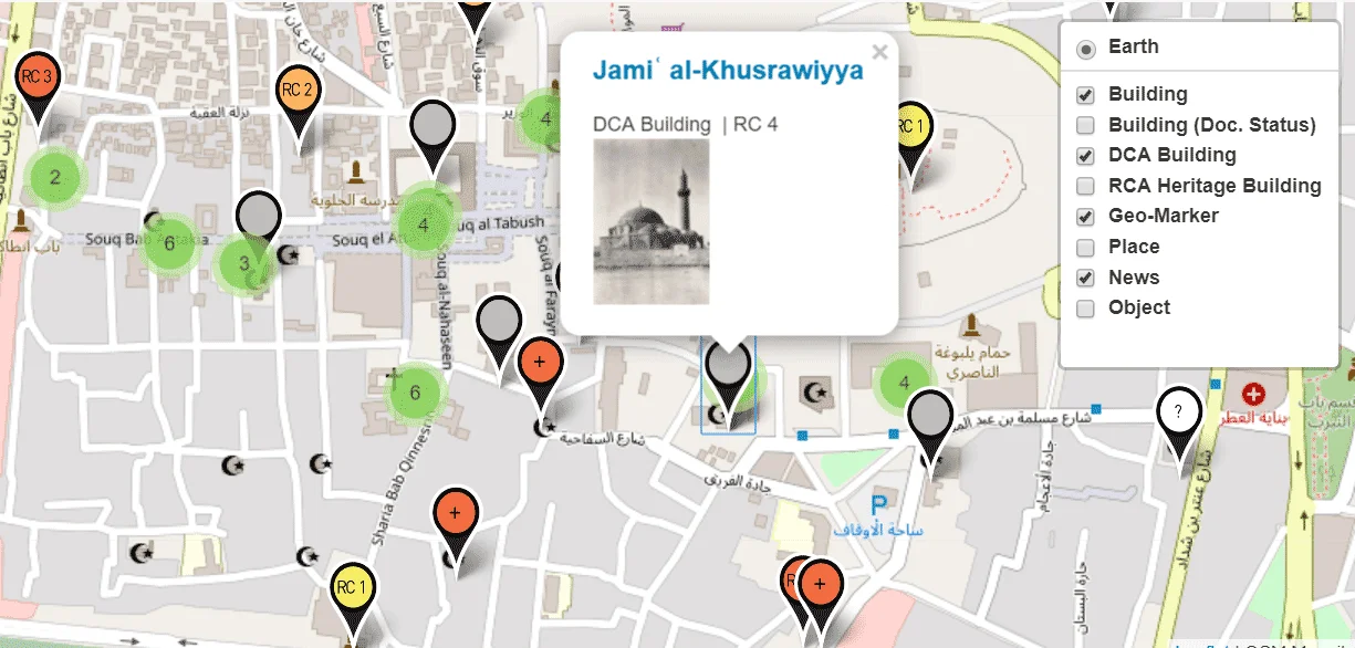
Aleppo Built Heritage Documentation – Damage Mapping
Kharab Shams, view from south at church ruin, 4th/6th century CE
Al-Madrasa al-Hallawiyya, the current prayer hall was part of ِAleppo’s Byzantine cathedral
Maps of Aleppo: city center and historical suburban aereas, 1982
Great Mosque of Raqqa-Rafiqa, 8th/12th C.
Fig.36_using a walking excavator to remove rubble
General view of Masyaf Castle
Fig.37_Use of crane for removal of rubble
Fig.36_using a walking excavator to remove rubble
Fig.35_labeling of stones within geodetic grid field
Fig.05_geodetic grid over rubble heap
Husn Sulayman, Cella of the temple
Aleppo in the 1930s, aerial view in northwest direction with the citadel and the old town in the background
Shaykh Shibli shrine – al-Tar mountain, south -east of al-Mayadeen
View from west at al-Kilaniyya historic quarter and al-Baz noria (waterwheel)
Qalb Lawza, Basilica of 5th c., central view at nave and apse
Monastery of St Simeon Stylites, view the west basilica
Baghdad Gate of Raqqa-Rafiqa, 10th c. onwards
General view of Husn Sulayman
General view of Husn Sulayman
Husn Sulayman, Temple of Zeus Baetocaece, inner face of the east gate of the temenos
Husn Sulayman, Temple of Zeus Baetocaece, inner face of the North Gate
Maps of Aleppo: “Historical succession of buildings”, 1982
Husn Sulayman, Temple of Zeus Baetocaece, inner face of the North Gate
Carved giant footprints at the threshold of the entrance of ʿAyn Dara temple
Shaykh Shibli shrine – al-Tar mountain, south east of al-Mayadeen – plan
Madrasa al-Hallawiyya: interior view at the former Byzantine apse
Basalt sphinx at the main entrance of ʿAyn Dara Temple
We use cookies to ensure that we give you the best experience on our website. If you continue to use this site we will assume that you are happy with it.OkCookie Policy

 A picture of workers doing restorations in the Umayyad Mosque


")


