Fig.35_labeling of stones within geodetic grid field
Fig.10_geodetic grid over rubble heap
Fig.08_execution of an geodetic grid over rubble heap
Fig.04-c_Contour lines of a digital terrain model
Fig.04-b_contour lines over rectified photograph
Fig.04_measurable rectified drone photography
Fig.03_section drawings of rubble, with orthographic photography
Fig.09_geodetic grid over rubble heap
Aleppo-Minaret-of-Great-Mosque_3D-Model_Iconem_s
Fig.36_using a walking excavator to remove rubble
Fig.18_1st category, carved and ornamented stone
Fig.38_Volunteers during cleaning and securing of remains
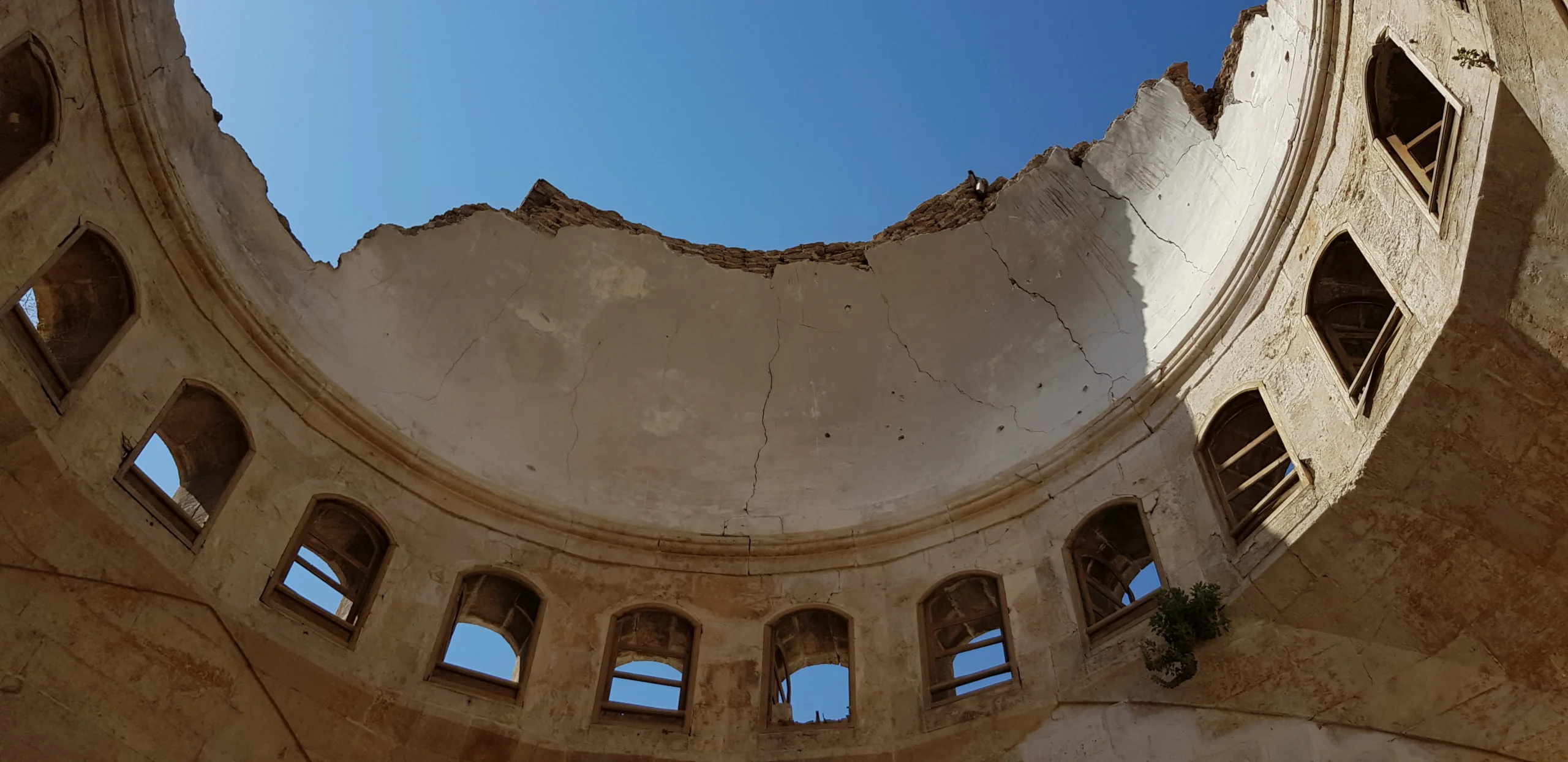
Fig.46_Pillar with structural damages
Fig.17-b-3b_collapse mechanism in the plane of the facade
Fig.17-b-3a_collapse mechanism, cracks in the plane of the facade
Fig.17-b-1b_collapse mechanism, overturning of the facade
Fig.17-b_Simulation of collapse mechanisms
STUNDE NULL (2019 – 2020)
Damages at the eastern side of the old suqs, Homs
Bayt Mustafa Basha al-Husayni in Homs before and after the war
Fig.41-c_Rubble management_Partial collapse of façade in 2019
We use cookies to ensure that we give you the best experience on our website. If you continue to use this site we will assume that you are happy with it.OkCookie Policy

 Fig.22_3rd category